Travel Guide of Southern Region in Iceland by Influencers and Travelers
Southern Region is a region of Iceland. The population of the region was 28,399. The largest town in the region is Selfoss, with a population of 6,000.
Download the Travel Map of Iceland on Google Maps here
Pictures and Stories of Southern Region from Influencers
14 pictures of Southern Region from Ross Hughes, Atle Mo, Robert Bye and other travelers
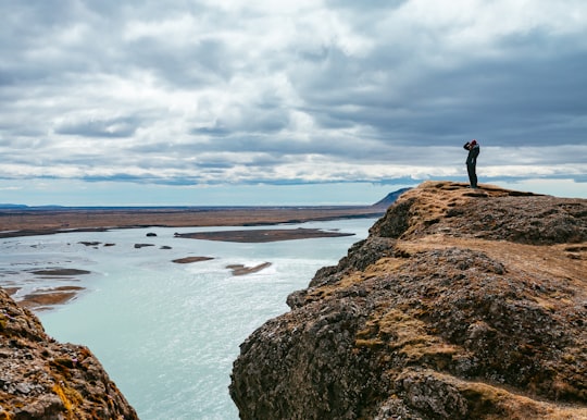
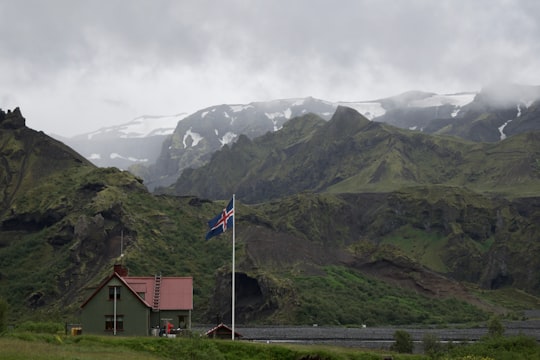
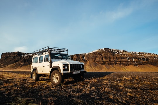
- It was in the middle of nowhere… and we could walk high enough to see the landscape; and enjoy the view ...click to read more
- Experienced by @Khamkéo Vilaysing | ©Unsplash
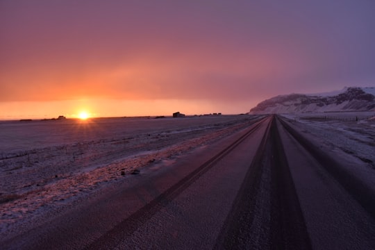
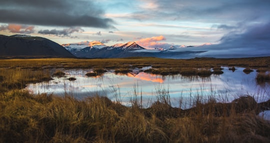
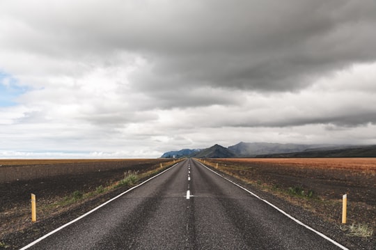
- A sunset in Iceland revisited. Now with more snowflakes photoshopped out! ...click to read more
- Experienced by @Greg Garnhart | ©Unsplash
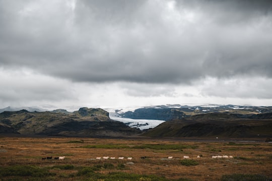
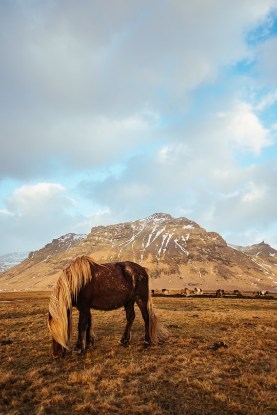
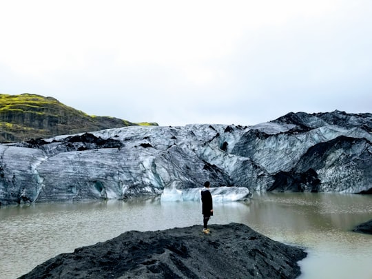
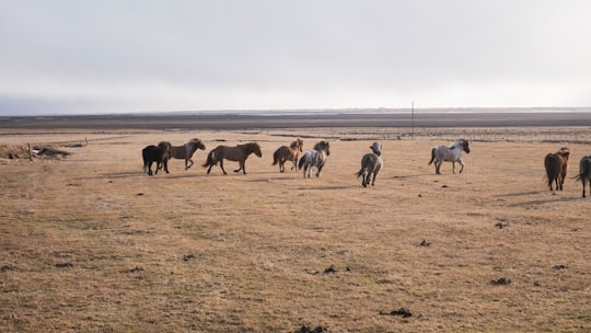
- Sheeps and Vatnajokull glacier, Iceland ...click to read more
- Experienced by @Artem Shuba | ©Unsplash
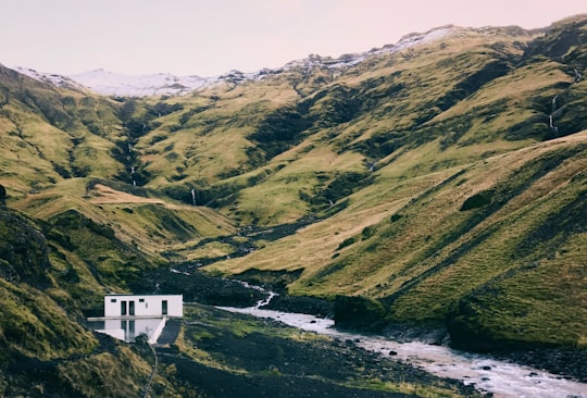
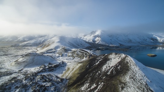
- Outdoor pool in the mountains ...click to read more
- Experienced by @Ross Hughes | ©Unsplash
Plan your trip in Southern Region with AI 🤖 🗺
Roadtrips.ai is a AI powered trip planner that you can use to generate a customized trip itinerary for any destination in Iceland in just one clickJust write your activities preferences, budget and number of days travelling and our artificial intelligence will do the rest for you
👉 Use the AI Trip Planner
The Best Things to Do and Visit around Southern Region
Disover the best Instagram Spots around Southern Region here
1 - Ölfusá
6 km away
The Ölfusá is a river in Iceland. It begins at the junction between the Hvítá and Sog rivers, just north of the town of Selfoss, and flows for 25 km into the Atlantic ocean. It is Iceland's largest river by volume with an average discharge of 423 m³/s. Its drainage basin is 5760 km². The Ölfusá is home to a large salmon fishing industry. The Flói Nature Reserve is located on its eastern shore near its mouth.
View on Google Maps Book this experience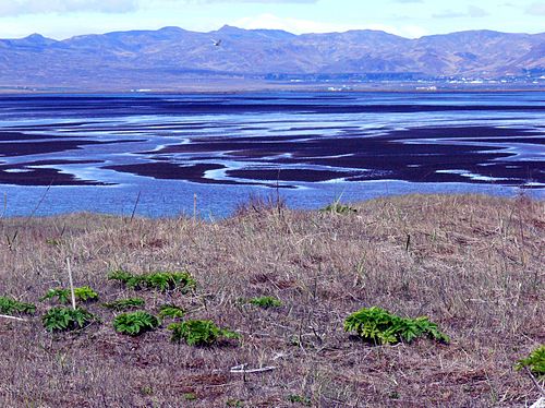
2 - Skógafoss
6 km away
Skógafoss is a waterfall situated on the Skógá River in the south of Iceland at the cliffs of the former coastline. After the coastline had receded seaward, the former sea cliffs remained, parallel to the coast over hundreds of kilometres, creating together with some mountains a clear border between the coastal lowlands and the Highlands of Iceland.
Learn more Book this experience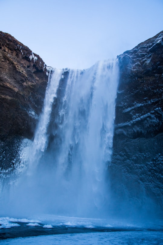
3 - Trekking | Northeastern Region, Iceland
14 km away
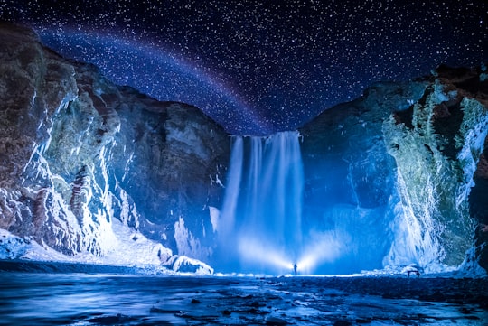
Spend the night in a mountain hut in the Thórsmörk Valley on this 2-day trip from Hella or Hvolsvöllur. See dramatic glaciers such as Eyjafjallajökull, Mýrdalsjökull, and Tindfjallajökull.
Learn more
4 - Grímsnes
13 km away
Grímsnes is a fissure or crater row volcanic system located in South Iceland, a relatively small volcanic system located SE of Thingvallavatn lake east of an en echelon group of volcanic fields extending across the Reykjanes Peninsula.
View on Google Maps Book this experience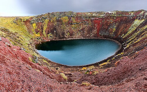
5 - Thórsmörk
14 km away
Thórsmörk is a mountain ridge in Iceland that was named after the Norse god Thor. It is situated in the south of Iceland between the glaciers Tindfjallajökull and Eyjafjallajökull.
Learn more Book this experience
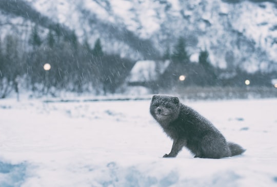
6 - Sólheimajökull
15 km away
Sólheimajökull is a glacier in southern Iceland, between the volcanoes Katla and Eyjafjallajökull. Part of the larger Mýrdalsjökull glacier, Sólheimajökull is a prominent and popular tourist location owing to its size and relative ease of access.
Learn more Book this experience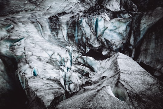
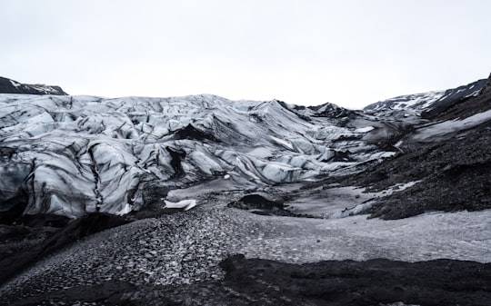
7 - Urriðafoss
16 km away
Urriðafoss is a waterfall located in the river Þjórsá in southwest Iceland. With a flow rate of 360 m³/s, it has the highest average water flow of any waterfall in Iceland, and the second highest in Europe behind the Rheinfall.
View on Google Maps Book this experience
8 - Seljalandsfoss
20 km away
Seljalandsfoss is a waterfall in Iceland. Seljalandsfoss is located in the South Region in Iceland right by Route 1 and the road that leads to Þórsmörk Road 249.
Learn more Book this experience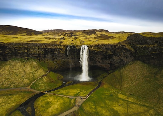
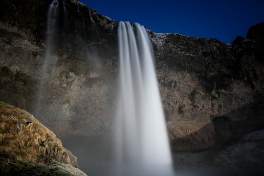
9 - Þjóðvegur
21 km away
Learn more
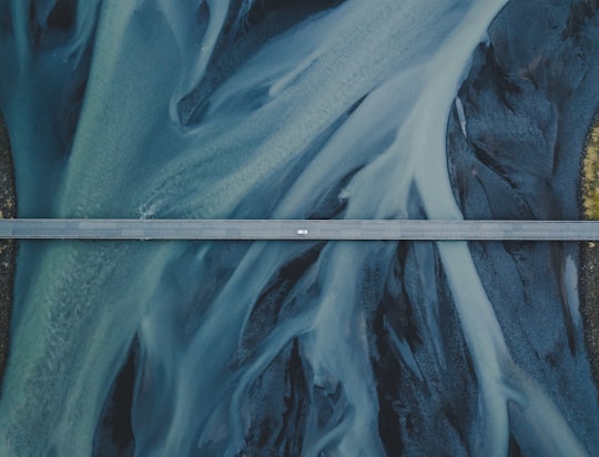
10 - Mýrdalsjökull
25 km away
Mýrdalsjökull is an ice cap in the south of Iceland. It is to the north of Vík í Mýrdal and to the east of the smaller ice cap Eyjafjallajökull. Between these two glaciers is Fimmvörðuháls pass. Its peak reaches 1,493 m in height and in the year 1980 it covered an area of approximately 595 km². The icecap of the glacier covers an active volcano called Katla. The caldera of the volcano has a diameter of 10 km and the volcano erupts usually every 40–80 years. The last eruption took place in 1918.
Learn more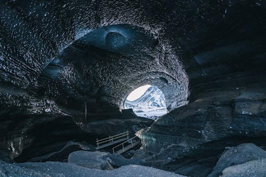
11 - Þingvallavatn
29 km away
Þingvallavatn, anglicised as Thingvallavatn, is a rift valley lake in southwestern Iceland. With a surface of 84 km² it is the largest natural lake in Iceland. Its greatest depth is 114 m.
Learn more Book this experience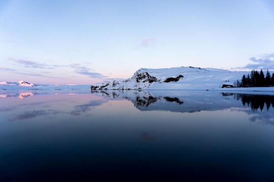

12 - Dyrhólaey Arch
30 km away
Dyrhólaey, formerly known by seamen as Cape Portland, is a small promontory located on the south coast of Iceland, not far from the village Vík. In fact, Dyrhólaey is the southernmost point in mainland Iceland. It was formerly an island of volcanic origin, which is also known by the Icelandic word eyja meaning island.
Learn more Book this experience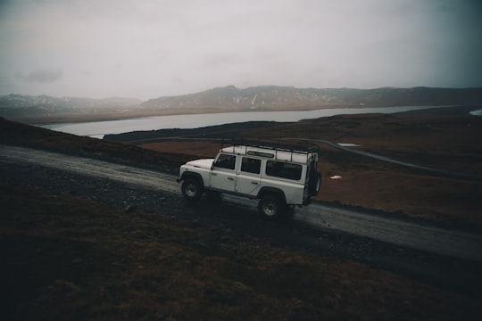
13 - Dyrhólaey Lighthouse
30 km away
The Dyrhólaey Lighthouse is a lighthouse located on the central south coast of Iceland.
Learn more Book this experience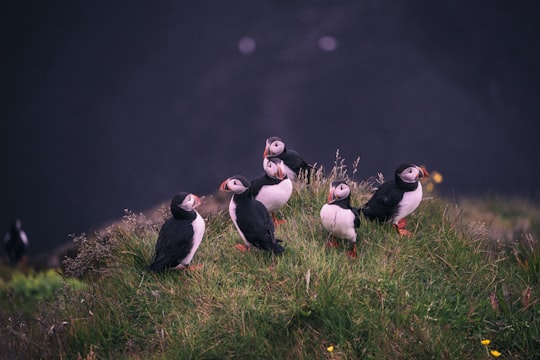
14 - Álftavatn
37 km away
Learn more
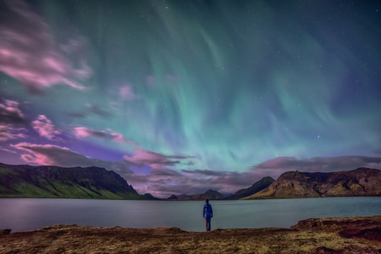
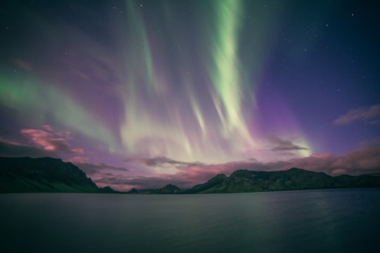
Book Tours and Activities in Southern Region
Discover the best tours and activities around Southern Region, Iceland and book your travel experience today with our booking partners
Learn More about Southern Region
South Iceland is the ideal place for outdoor enthusiasts. The region has a thriving agricultural industry on the plains and majestic mountains for those looking for a challenge. Other activities available are: scenic walks, birdwatching, hiking along the coast, ice climbing, kayaking, 4WD tours, rafting and tours of the Nyar Saga. The fun continues with swimming, golf, fishing and riding the small but mighty Icelandic horses. Another popular animal is the whale, which can be seen on excursions from the Westman Islands. For the more adventurous, there are four-wheel drive and snowmobile tours of the glaciers, and in the summer there are regular trips to Fjorsmork and Laki Crater. Cultural life in South Iceland is rich and varied. Art exhibitions are held throughout the year and there are frequent concerts of all kinds of music and bands. Almost every town has an amateur theatre, which gives at least one performance a year. Choirs are an important part of Iceland' culture and it is reported that about one in three people belong or have belonged to a choir. Folk dance groups, card and chess clubs, poetry readings and libraries also play an important part in everyday life. There are numerous family-friendly summer festivals held in the area, including the Westman Islands Folk and Natural History Museum, Skogar Folk Museum, Eyrarbakki Folk Museum, Töðugjöld in the county of Langalsing, Blóm í bæ in Hveragerði, the Lobster Festival in Höfn, Grímsævintýri in Grímsnes and Grafningshreppur, and the Midsummer Festival in Eyrarbakki.
Where to Stay near Southern Region
Discover the best hotels around Southern Region, Iceland and book your stay today with our booking partner booking.com
More Travel spots to explore around Southern Region
Click on the pictures to learn more about the places and to get directions
Discover more travel spots to explore around Southern Region
🏞️ Loch spots ⛰️ Hill station spots 🌲 Ecoregion spots 🛣️ Off-roading spots 🌲 Plain spots 🛣️ Road trip spots ⛰️ Summit spots ❄️ Tundra spots 🏞️ Waterfall spots 🏖️ Beach spots 🐾 Wildlife spots 🏖️ Coast spotsTravel map of Southern Region
Explore popular touristic places around Southern Region
Download On Google Maps 🗺️📲
